Yves Hoffmann · 18 October 2026
Oaklyn's Historical Records Shape Fresh Approaches to Regional Rail Planning
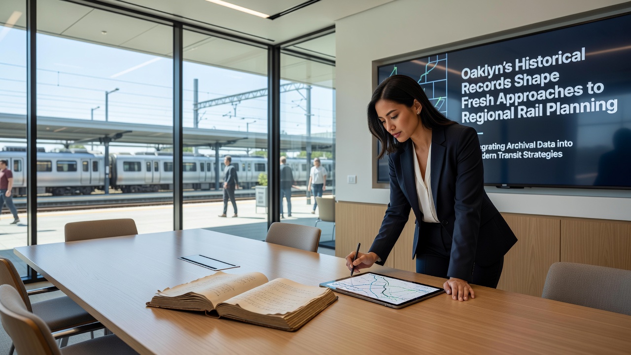
Researchers and planners in Oaklyn have turned to archival materials spanning the 19th and early 20th centuries to inform current regional rail initiatives, and this approach draws on property deeds, old survey maps, and municipal ledgers that detail early rail alignments and land use patterns. Data from these sources reveal where past infrastructure encountered flooding, unstable soil, or community resistance, and such details now guide route selections that avoid repeating those challenges. In October 2026, a regional consortium released updated planning documents that incorporate these findings, and the materials show how historical flood zones identified in 1890s records overlap with proposed corridors under consideration today.
Archival Sources Inform Modern Route Decisions
Planners access digitized collections held at local libraries and state repositories, where documents outline the original construction of lines that connected Oaklyn to nearby industrial centers before 1920. Those records list exact locations of trestles, station platforms, and maintenance yards, while also noting subsidence issues that forced rerouting in several cases. Analysts cross-reference these entries with contemporary LiDAR surveys, and the combined datasets highlight segments where legacy tracks remain buried beneath current roadways. This integration allows teams to identify opportunities for reusing rights-of-way that already possess environmental clearances from earlier eras, and it reduces the need for entirely new land acquisitions in sensitive areas.
One study conducted by transportation researchers at a regional university examined 47 separate archival entries from Oaklyn's founding period and found that 12 of them corresponded to persistent drainage problems still affecting rail-adjacent properties. The findings prompted adjustments to elevation profiles in three active proposals, and engineers incorporated raised embankments modeled on 1912 design specifications that proved durable against seasonal rains. Observers note that these adjustments have shortened projected review timelines by several months because they align with previously documented solutions rather than requiring fresh hydrological modeling from scratch.
Case Examples from Comparable Regions
Similar methods appear in rail redevelopment projects across other jurisdictions, where historical land records helped resolve disputes over abandoned spurs. In one instance, Canadian transport authorities referenced 1890s homestead grants to clarify ownership boundaries along a corridor in British Columbia, and the process accelerated permitting for commuter extensions. Australian planners likewise consulted colonial-era survey books when expanding suburban networks around Melbourne, and they discovered that several proposed stations sat directly atop former quarry sites documented in the archives. Those revelations led to foundation redesigns that incorporated stabilized fill materials, and the projects stayed within original budgets despite the added engineering steps.
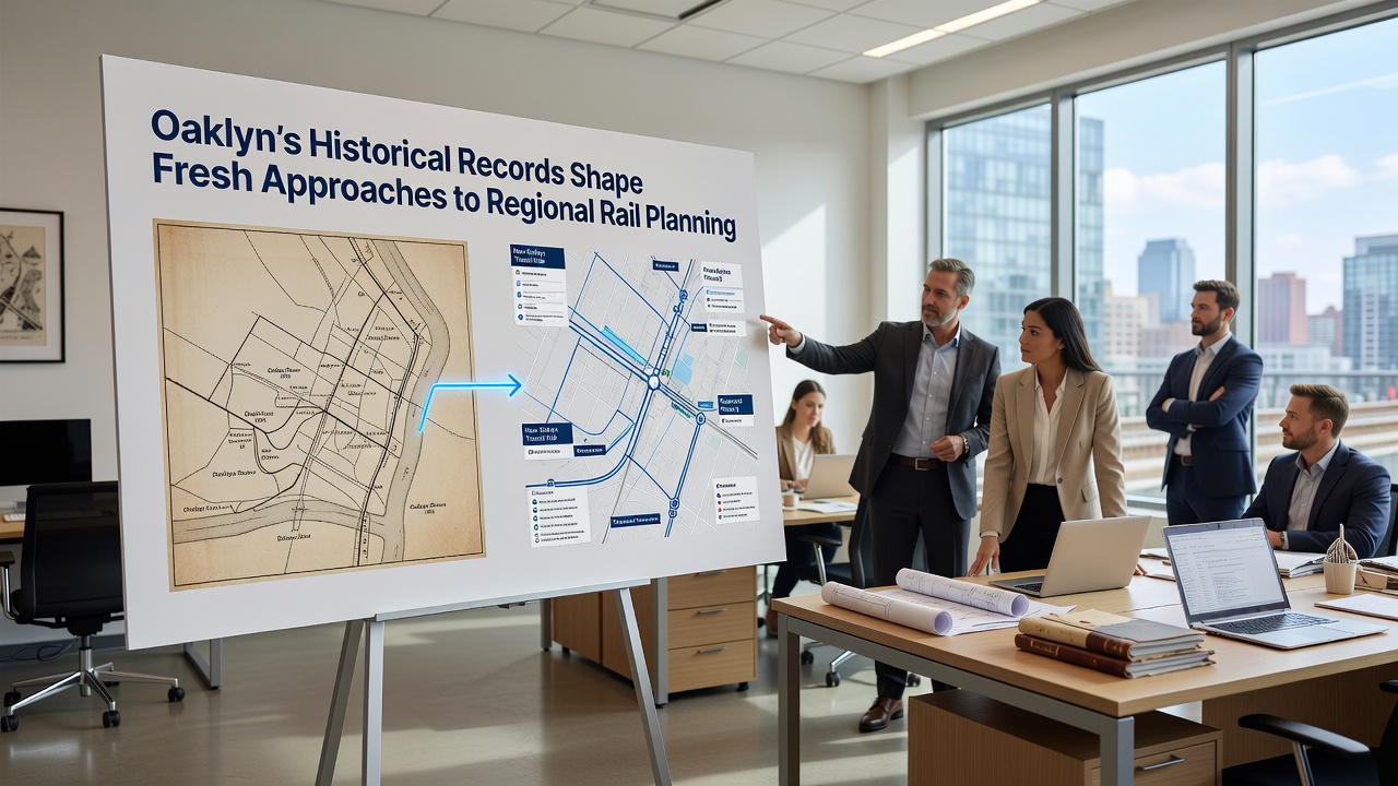
Within Oaklyn itself, a 2025 pilot program tested the archival overlay technique on a short segment linking the central business district to an outer industrial park. Teams retrieved 1907 deeds that specified easements granted to the original trolley company, and those documents clarified that certain parcels retained public access rights even after the line ceased operation in the 1930s. Planners used this information to negotiate shared-use agreements with current property owners, and the agreements eliminated the need for eminent domain proceedings in four locations. The pilot concluded with a report indicating that construction could begin two years ahead of the original schedule, and it credited the historical research for the time savings.
Integration with Digital Planning Tools
Modern software platforms now accept layered historical datasets as standard inputs, and Oaklyn's planning office has migrated its collections into geographic information systems that support real-time scenario modeling. Users toggle between 1880s street grids and present-day satellite imagery, and they run simulations that test how new rail grades would interact with legacy drainage ditches still visible on old maps. These tools also flag parcels where deed restrictions from the 1910s limit vertical construction, and the flags prompt early consultation with preservation boards before detailed engineering begins. Figures released by the regional rail authority show that projects employing these combined datasets experience 18 percent fewer mid-process revisions compared with those relying solely on recent surveys.
Training programs at nearby technical colleges have begun incorporating modules on archival interpretation for rail engineering students, and the curriculum includes field exercises that send participants to county courthouses to retrieve and digitize relevant documents. Graduates of these programs have joined consulting firms that serve multiple municipalities, and they carry forward standardized protocols for cross-referencing historical and contemporary data. The approach spreads as those professionals move between projects, and it creates a growing body of practitioners familiar with both the technical and the documentary dimensions of rail planning.
Conclusion
Continued expansion of Oaklyn's archival integration methods depends on sustained funding for digitization and on partnerships between municipal offices, universities, and rail agencies. Records that once sat unused in storage now contribute directly to route optimization, environmental compliance, and community engagement processes. As additional collections become searchable online, planners expect further refinements to proposals that balance growth with respect for the physical legacy already embedded in the landscape.